
Aerial Imaging Solutions
Specializing in aerial photography / videography, site
surveys and mapping
Experienced FAA Part 107 Certified Remote UAV pilot
Fully insured

Real Estate
For listings that inspire, we provide high definition media to showcase your property. Show potential buyers a different perspective and give them the whole picture.

Construction
Keep projects on time and budget by leveraging updated surveys, maps and 3D renderings of job sites. Share with stakeholders to keep the team in the know.
Inspections
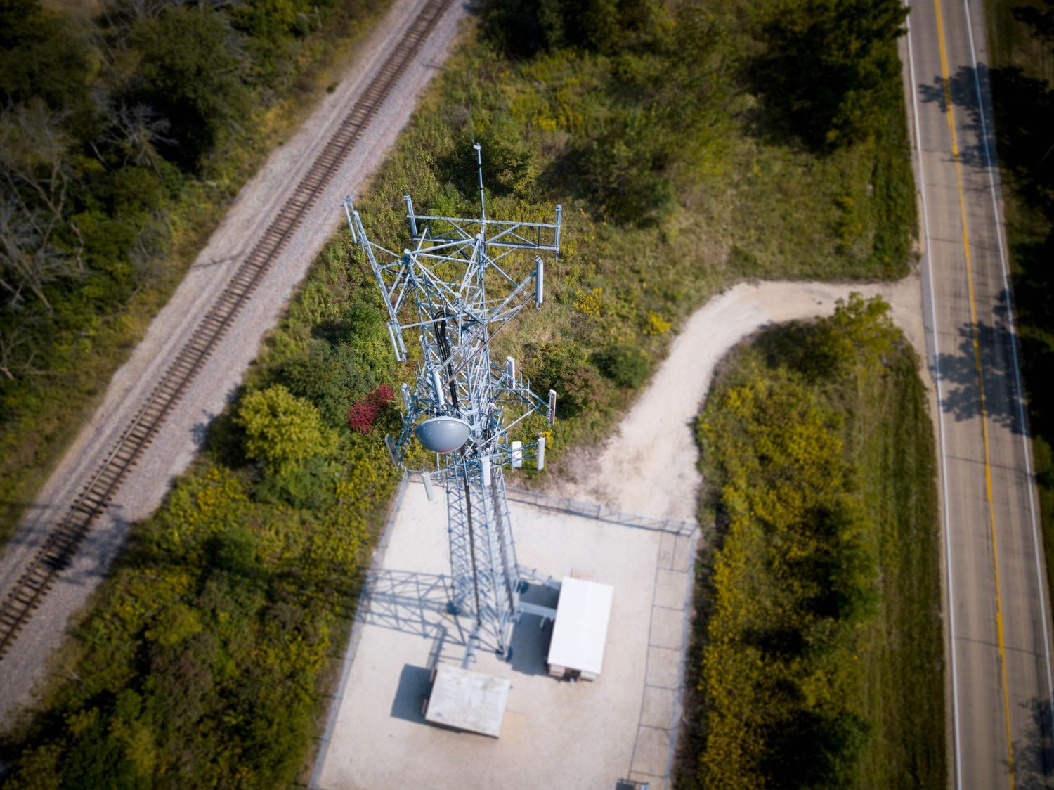
Utilizing UAVs for aerial inspection work on roofs, tall structures or suspended structures such as bridges is a safe, quicker and cost-effective alternative to traditional inspection methods
FAA Part 107 Certified Pilot
Fully FAA Certified pilot with hundreds of hours of remote piloting experience on multiple UAV systems.

FULLY INSURED
In the highly unlikely case of an accident, you can rest easy knowing that it is covered.


Property Promotion

Neighborhood Development

Inspections

Events

Agriculture

Forestry Planning

Site Survey / Mapping / 3D

Weather Damage Claims
Quick Turn-around
Videos and Images are processed within 24 hours.
Surveys, Maps and 3D models are processed and available to share within 48 hours.

Save Time & Money
Save money compared to employing a piloted craft. Free up employees to take on new tasks.

Safety First
Certified and trained pilot with years of experience. Fully insured. Keep your employees out of harm's way and let our UAV's capture needed
data and imagery.